Discover Mountainbike Route Zeewolde in Zeewolde
An accessible mountain bike route for every rider!
The route is located in the forest and water-rich area of Zeewolde. It is possible to start the route from two different points. Both locations offer parking facilities and direct access to the start of the route, where you can choose either the short route (14.6 kilometers) or the long route (17.3 kilometers).
The route consists of many singletracks through the forest, goes over the scouting estate with artificially constructed elevations, and along the water (Wolderwijd and Nuldernauw). The lack of real altitude meters is compensated by sections of clay as the surface, which require the necessary fitness when it is humid.
Starting location
The route is located in the vicinity of Zeewolde. You can start the route at two points. Both locations offer parking facilities and direct access to the start of the route, where you can choose either the short or long route.
Parking area De Banken
Dasselaarweg 41, 3896 LT Zeewolde (proceed 500 meters)
GPS coordinates: 52.308216, 5.536424
Parking area Nulderpad
Nulderpad, 3896 LT Zeewolde
GPS coordinates: 52.290481, 5.518788
Website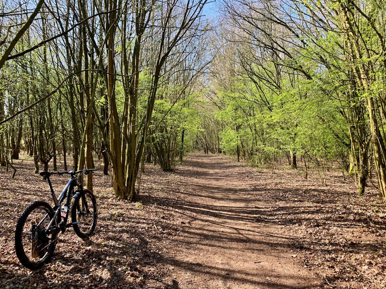
Mountainbike Route Zeewolde
Sign up for the newsletter
Subscribe now to the newsletter and stay informed about the latest developments and events in Zeewolde!
Subscribe now!